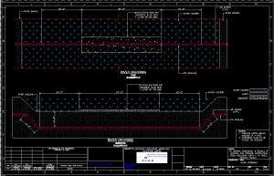
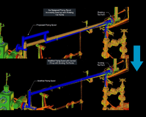
2D Engineering Drawings
At Advanced Intelligent Modelling Solutions Limited, we specialize in delivering precise and detailed 2D engineering drawings that cater to a wide range of industries. Our
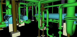
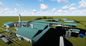
3D Modelling
We excel in providing top-tier 3D Modelling services that cater to a wide array of industries. Our team of skilled professionals use advanced 3D Modelling
Animated Movies
We bring your ideas to life with our top-of-the-line 3D computer animation and rendering services. Our team of talented technicians and rendering specialists are dedicated
Dimensional Control
At Advanced Intelligent Modelling Solutions Limited, we provide comprehensive Dimensional Control services that ensure the highest levels of accuracy and precision for your projects. Our
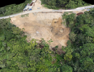
Drone Surveying & Mapping
We provide cutting-edge drone surveying and mapping services that utilize the latest technologies to deliver precise and comprehensive data for your projects. Our advanced drone
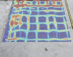
Ground Penetrating Radar Surveying (GPRS)
At Advanced Intelligent Modelling Solutions Limited, we offer advanced Ground Penetrating Radar (GPR) surveying services to provide precise and non-invasive subsurface imaging. Our GPR technology
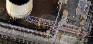
Laser Scanning
At Advanced Intelligent Modelling Solutions Limited, we specialize in providing advanced 3D laser scanning services to capture highly accurate and detailed representations of physical spaces
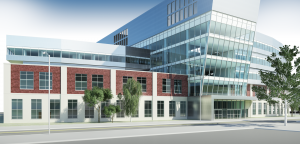
Revit Architecture
We offer specialized Revit Architecture services to bring your architectural designs to life with precision and efficiency. Our team of experienced professionals uses Revit’s powerful
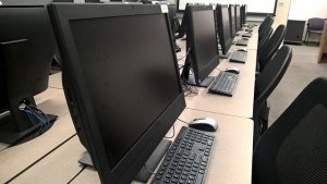
Software & Training
We are committed to empowering professionals and organizations with the knowledge and skills needed to excel in their fields. As a Certified Autodesk Learning Partner
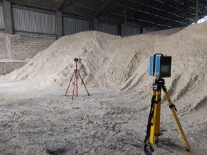
Stockpiles
We provide precise and efficient stockpile measurement services using advanced 3D laser scanning and drone LiDAR technology. Our innovative approach ensures accurate volume calculations and
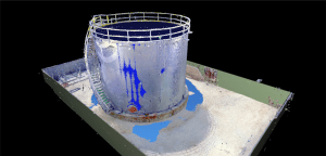
Tank Calibration and Inspection
We offer specialized tank calibration and inspection services to ensure the accuracy, safety, and efficiency of your storage tanks. Our team of experts uses advanced