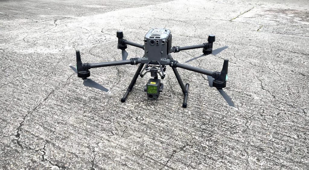
We provide cutting-edge drone surveying and mapping services that utilize the latest technologies to deliver precise and comprehensive data for your projects. Our advanced drone capabilities, including LiDAR, thermal imaging and photogrammetry enable us to capture detailed and accurate information quickly and efficiently.
Our Services Include:
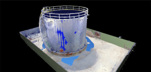
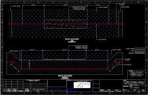
- Drone LiDAR: Utilize LiDAR technology for high-precision 3D mapping and topographic surveys, capturing detailed surface data even in challenging environments such as dense vegetation or rugged terrain.
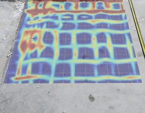
- Thermal Imaging: Conduct thermal surveys to detect heat anomalies, assess building insulation, monitor industrial processes and identify potential issues in electrical systems.
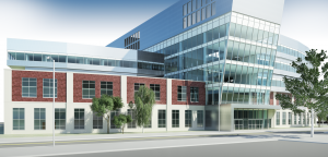
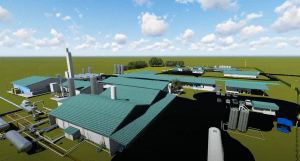
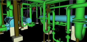
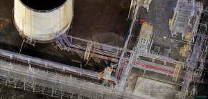
- Photogrammetry: Create high-resolution 2D maps and 3D models from aerial photographs, providing detailed visual representations for various applications including land surveying, construction, and environmental monitoring.
- Orthomosaic Mapping: Generate accurate, georeferenced orthomosaic maps from aerial images, ideal for land planning, agriculture and site analysis.
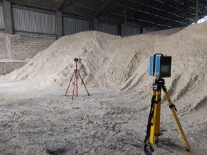
- Volumetric Analysis: Perform precise volume calculations for stockpiles, earthworks and material inventories aiding in resource management and project planning.
Why Choose Us?
- Advanced Technology: Our fleet of drones is equipped with the latest sensors and cameras, ensuring high-quality data capture and analysis.
- Efficiency and Speed: Drones offer a fast and efficient method of surveying large areas, reducing time and labor costs compared to traditional methods.
- High Accuracy: We deliver highly accurate and reliable data, crucial for making informed decisions and ensuring project success.
- Versatility: Our drone services are adaptable to a wide range of industries, including construction, agriculture, mining, environmental monitoring, and infrastructure inspection.
- Experienced Team: Our certified drone pilots and data analysts have extensive experience in aerial surveying and mapping, ensuring professional and dependable service.
Contact Us
Enhance your projects with our state-of-the-art drone surveying and mapping services. Contact us today to discuss your requirements and discover how our drone technology can provide you with precise and actionable data. Whether you need LiDAR, thermal imaging, or photogrammetry, we are here to deliver top-notch solutions tailored to your needs.