At Advanced Intelligent Modelling Solutions Limited, we provide comprehensive Dimensional Control services that ensure the highest levels of accuracy and precision for your projects. Our expert team uses advanced measurement technologies to deliver reliable and detailed dimensional data, supporting your quality control, engineering, and construction needs.
Our Services Include:
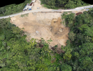
- Surveying and Measurement: High-precision surveying and measurement of structures, components, and assemblies to verify dimensions and alignments.
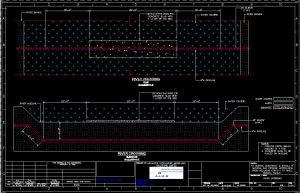
- As-Built Surveys: Accurate as-built surveys of existing facilities and structures to document current conditions and support retrofitting or renovation projects.
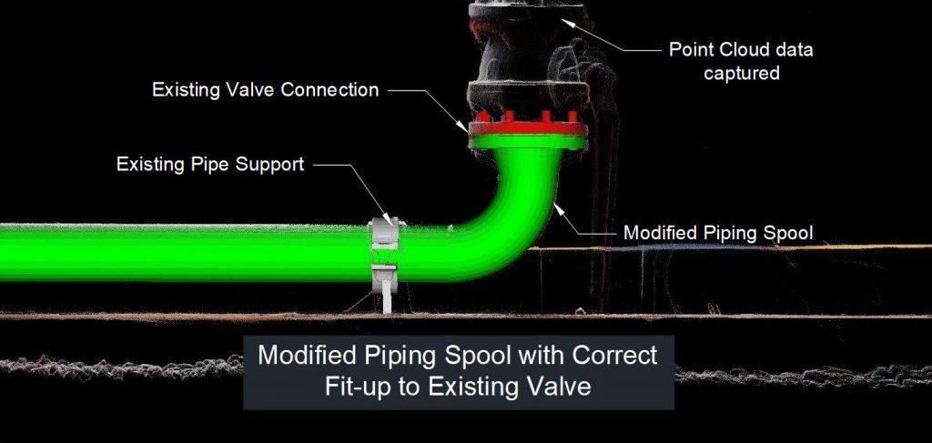
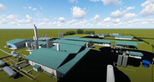
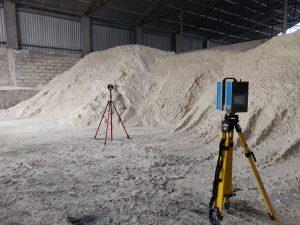
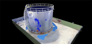
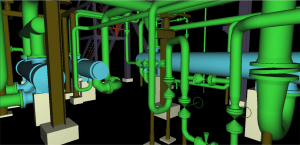
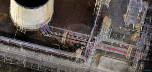
- 3D Laser Scanning: Capture detailed 3D point cloud data of complex geometries and large-scale environments for accurate modeling and analysis.
- Alignment Services: Precise alignment of machinery, equipment, and structures to ensure optimal performance and compliance with design specifications.
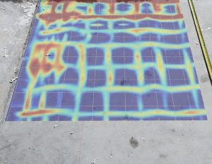
- Quality Assurance: Dimensional inspection and verification of fabricated components and assemblies to ensure they meet required tolerances and standards.
Why Choose Us?
- Expertise and Experience: Our team has extensive experience in dimensional control, providing you with accurate and reliable measurements for your projects.
- Advanced Technology: We utilize the latest measurement tools and software to deliver precise and detailed dimensional data.
- Custom Solutions: We tailor our services to meet your specific requirements, providing personalized solutions that align with your project goals.
- Accuracy and Reliability: Our meticulous approach ensures that all measurements and surveys are conducted with the highest level of accuracy and reliability.
- Comprehensive Reports: We provide detailed reports and documentation, offering clear and concise information that supports your decision-making process.
Contact Us
Ensure the success of your projects with our precise and reliable dimensional control services. Contact us today to discuss your requirements and learn how our expertise can benefit your project. Whether you need surveying, alignment or quality assurance, we are here to deliver accurate and dependable solutions.