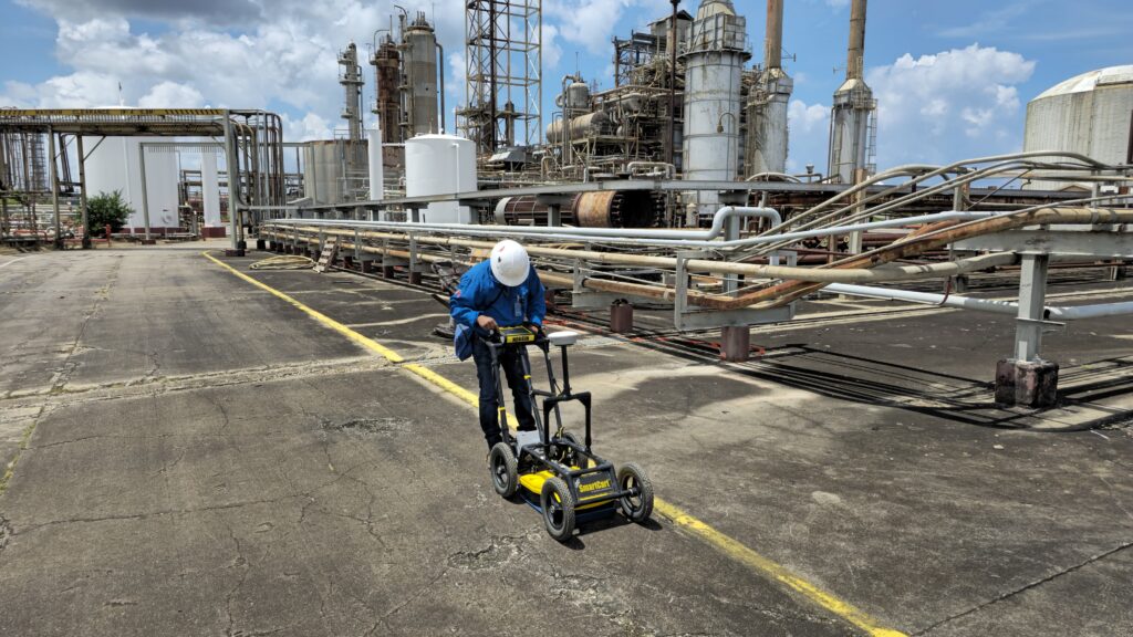
We deliver Ground Penetrating Radar (GPR) Surveying Services designed to provide accurate, non-invasive insight into subsurface conditions. Utilizing advanced radar technology, our services enable clients to identify underground features in real time prior to excavation, construction or structural work ensuring safer and more informed decision-making.
Whether for utility detection, site planning or structural evaluation, AIMS supports risk mitigation through precise, dependable underground mapping solutions across a range of industries.
What We Detect
Buried Utilities (Metallic & Non-metallic)
Concrete Reinforcement & Rebar
Voids, Sinkholes & Subsurface Anomalies
Underground Storage Tanks
Conduits, Duct Banks & Pipes
Depth and Layering of Subsurface Materials
Enhancing Utility Detection with our Utility Detector
As part of our comprehensive subsurface surveying approach, we integrate our Utility Locator to enhance the precision and reliability of our underground utility detection services. This advanced tool allows us to efficiently locate a wide range of buried assets, including both energized and de-energized electrical lines, water pipes, communication cables and tracer wires.
By incorporating the Utility Locator into our workflow, we’re able to:
Improve on-site safety by accurately identifying the location and depth of hidden utilities
Increase confidence in excavation planning and utility installations
Trace non-metallic lines when used alongside tracer wire systems
Deliver real-time results that support fast, informed decision-making in the field
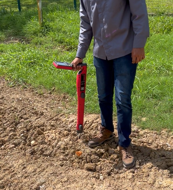
Used in conjunction with our Ground Penetrating Radar systems, the Amprobe UAT-600 R helps provide clients with a complete and clear picture of subsurface infrastructure—minimizing risk, avoiding costly delays and supporting the success of every project.
Looking Below the Surface?
Don’t take chances. Uncover what lies beneath with AIMS GPR Surveying Services.
We help you accurately locate, map and manage subsurface utilities and risks with clarity and confidence.